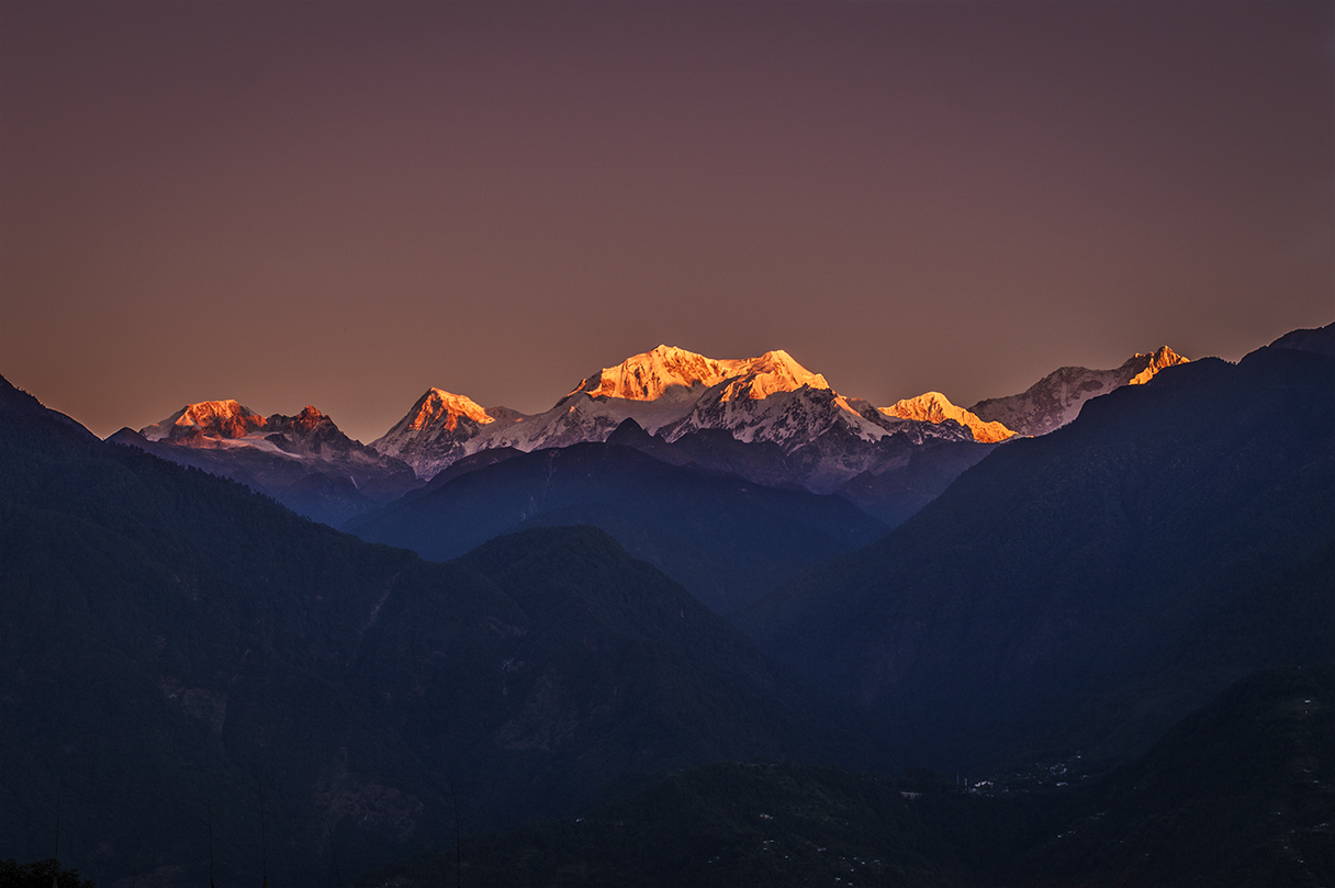
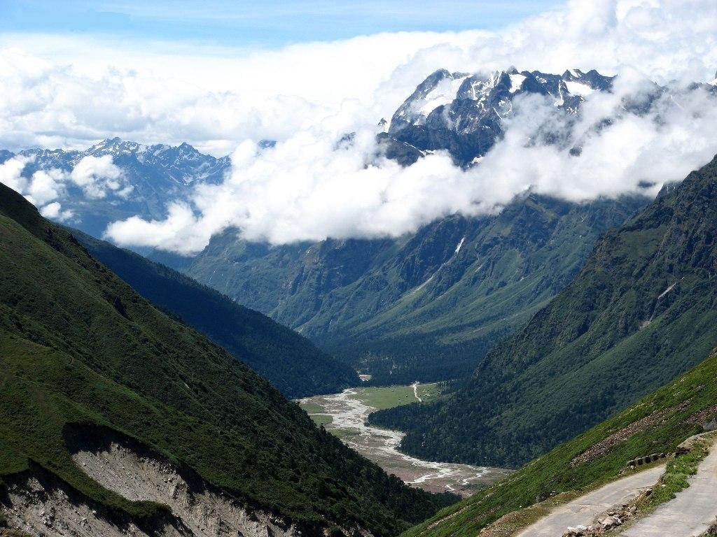
Sikkim covers about 7,100 sq km, yet within it the land rises from subtropical valleys near Rangpo to glaciers and peaks above 8,000 m. The Teesta and its tributaries cut the state into deep north–south valleys, and almost every road follows a river before climbing a ridge. Distances look short on the map and take all day on the ground.
Gangtok, the capital at about 1,650 m, is where most trips begin. It has been the seat of government since 1894, when the Chogyal moved his court from Tumlong. From here roads run east to Tsomgo Lake and the Nathu La, north up the Teesta to the valleys of Lachung and Lachen, and west over the hills to Ravangla, Pelling and Yuksom, the old royal heartland facing Kangchenjunga.
Four peoples shape the hive. The Lepchas, who call themselves Rong, are counted as the earliest inhabitants. The Bhutias arrived from Tibet and brought the Namgyal kings and the Nyingma monasteries. Limbus share the west with Nepal, and Nepali-speaking communities, who settled in large numbers from the 19th century, now form the majority and give the state its common language.
Sikkim also runs itself differently from most of India. Plastic bags were banned in 1998, farming is certified organic, and the high valleys of Lachung and Lachen still govern themselves through a village council called the Dzumsa. Much of the north and east is permit country near an international border, so the way you travel, and with whom, matters more here than almost anywhere else in the Himalaya.